Architecture, BIM and Preservation
PhotoModeler software is widely used as a measurement and modeling tool in architecture, BIM, preservation, conservation, and cultural resource management applications for:
- Documenting construction for input to BIM
- Documenting and measuring older buildings and structures for conservation and preservation
- Generating 3D models for visualization and view studies
- Generating elevation drawings of your existing structures
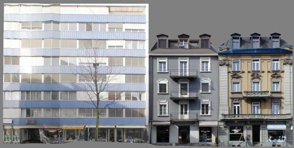
- Generating rectified photographs of facades from single and multiple photo projects
- Producing photo-textured 3D models for realistic walk-bys
- Surveying existing structures and objects
- With PhotoModeler Premium, obtain scans of facades, esp. those with complex shapes and natural textures. Details can also be captured in stone and brick walls.
BIM
BIM – Building Information Modeling is a collection of data (3D models, system diagrams, photographs, etc.) that help with planning, design, construction, and on-going management of modern buildings. Photogrammetry can be part of the BIM data model. A combination of 3D modeling (from ground or drone photography), and ortho-mosaic images aid with comparing design with construction, and for documenting and input into your BIM system.
Preservation and Cultural Heritage
When working with existing structures – sometimes very old buildings, drawings and models usually do not exist. Photogrammetry can be very helpful in documenting older structures to aid with preservation work. Both CAD models and dense surface models can be created with photogrammetry to help with this work.
Architecture and Preservation Examples
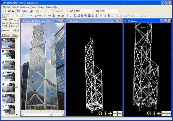
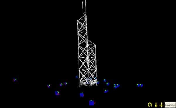
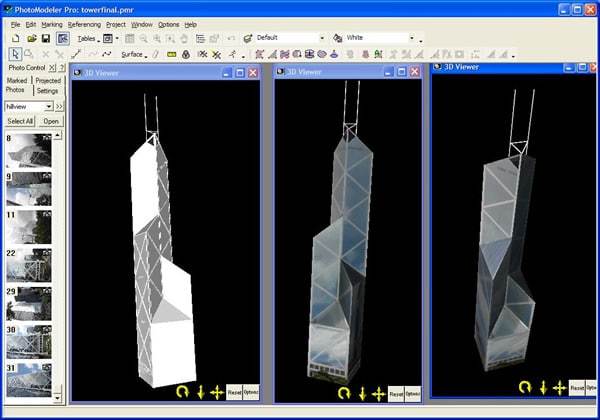
- hong kong Tower
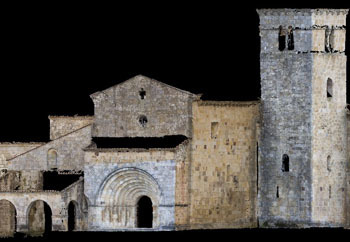
- spanish MONASTERY
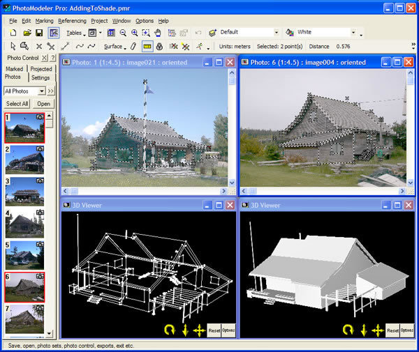
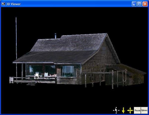
- wood cabin
- street scape
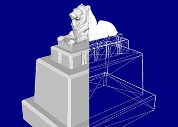
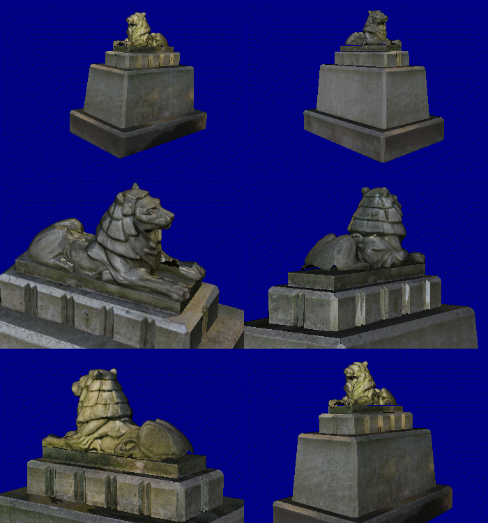
- statue
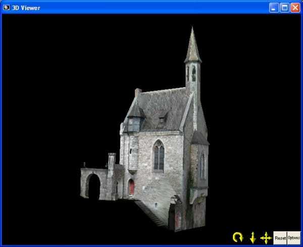
The Emmaburg Castle is one of the most important historical buildings in East-Belgium. It consists of different buildings - segments like a donjon, a chapel, living quarters and buildings for farming. In this photogrammetry project the chapel was measured to create a photorealistic and measurable 3D model.
This interesting and detailed architectural project was carried out by Jan Wesbuer in his diploma at the department of civil engineering at FH Aachen (Aachen University of Applied Sciences, Institute of Surveying Sciences).
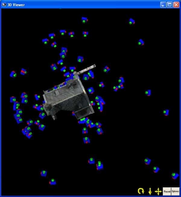
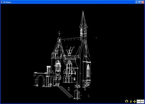
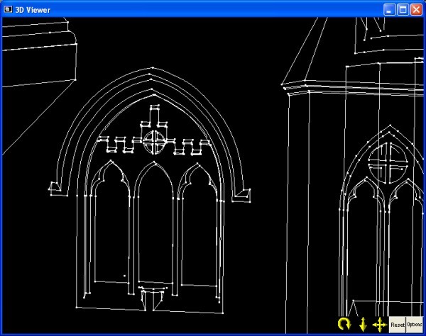
The project consists of 104 photographs taken with a Nikon Coolpix 5700 with 35mm and 107mm focal length lenses. The project had 16 control points (to support measuring strength), over one thousand points, one thousand lines, over two hundred NURBS curves and over 900 surfaces.
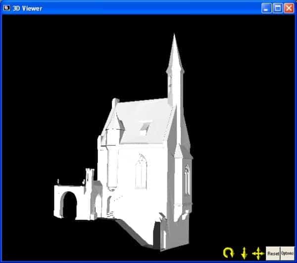
The project was exported into VRML with 22 MB of texture and imported into Cinema 4D to make a flight around the building. Other products such as orthophotos and stereo views were created. Beside these products, the authors were also interested in the accuracy of close range photogrammetric methods and checked the accuracy of the PhotoModeler predictions with a Zeiss Trimble 3305 DR total station. The measurements were all in the expected range of prediction.
Click on one of the below images to see other outputs from the project including wireframe, textured model, and positions of camera stations.
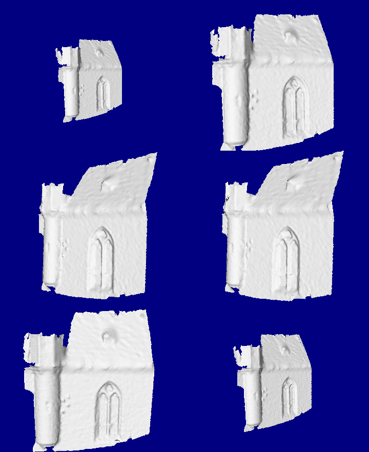
The following DSM project was completed by Eos staff with photos kindly provided by Jan Wesbuer, who completed the larger Emmaburg PhotoModeler study shown above. This is an example of re-purposing photographs as these photographs were originally taken as part of a standard PhotoModeler survey and here they are used to extract a dense surface model. The gif animation below shows the shaded surface model. The four bumps just right of the tower are from the real object - they are brackets for holding lights or torches.
