Geology Applications with PhotoModeler
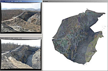
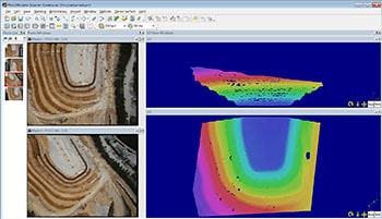
There are a number of applications in mining, quarrying and geology for PhotoModeler and PhotoModeler Premium. PhotoModeler Premium provides a very cost effective and efficient method for modeling the earth surface, cliff and exposed rock faces, stockpiles, and tailing piles.
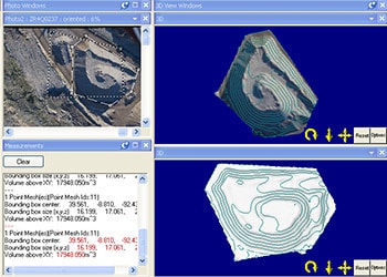
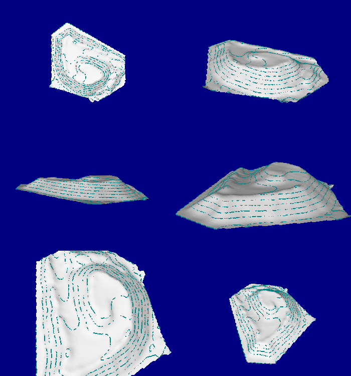
One can extract dense point grids (similar to a laser scanner). In addition surfaces, contour lines, and measurements can be done on the resulting point clouds. With input of external control data you can geo-reference the project and the outputs. Far more cost effective than using traditional surveying methods!
Measuring volumes of stock and waste piles is a good application as well. This Volume Tip video shows how it is done. In addition look at the drone/uav applications page.
Examples in Geology and Mining
- mine reclamation
- stockpile
- open pit
- hydrology
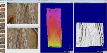
While not a mining or geology example per se, this scan of a stream table to simulate erosion is related (and we don't have a geomorphology, erosion, or hydrology section in the website yet!).
This shot shows two of the project photos on the left, and then a colorized 3d view (close up below) showing the dense point cloud. Color varies by depth. On the right is a surface model (of the bottom part of the stream bed side-lit to show the depth variations).
