Tip 56: Getting Slope or Level in a Photogrammetry Project

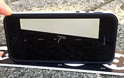
Leveling is the process in surveying of orienting a coordinate system to the local gravity field. Even in non-survey tasks, like house construction (or putting up a shelf!) you’ll use a level to get all items lined up with gravity. In performing a photogrammetric measurement, modelling or survey you may want the results oriented to […]


