UAS and Drone Applications
PhotoModeler Premium has some capabilities for working with images from unmanned aircraft system (UAS / UAV / drone). While UAS is not a specific application, this page pulls together a number of application areas in one place.
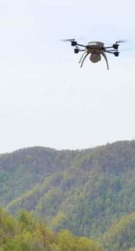
UAS are ideal for capturing large areas from above, as well as inspecting objects that are high off the ground. Modern UAS are more and more accessible with lowering costs and improving cameras - perfect for aerial photogrammetric measurement that PhotoModeler can provide. PhotoModeler customers are using quadcopter, hexacopter, and fixed wing UAS from many different manufacturers.
Possible UAS applications with PhotoModeler:
- Stockpile shape and volume measurement
- Rock slope survey
- Accident Scene Mapping and Forensics
- Geological study
- Site damage inspection
- Bridge and roadway inspection
In addition the following application pages discuss UAS usage:
Other Examples
- woodchip pile
Approx. size of scene | 2000 ft / 610m |
Number of photos | 189 |
Camera | Aeryon Labs Scout |
Number of SmartMatch points | 89,000 |
Number of triangles in mesh | 5.4 million |
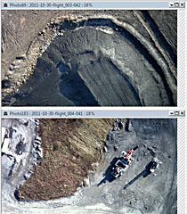
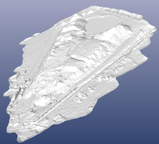
This project was carried out by Geo-Rhea, a firm in Charleston, West Virginia that specializes in UAS / UAV remote sensing, mapping and measurement. The primary purpose is to determine the volume of coal piles without resorting to expensive, time-consuming and often less-accurate traditional methods. The area shown is Keystone, WV. The project was made possible by the 64 bit version of PhotoModeler Scanner.
See output images from this sample. Click on image for larger view.
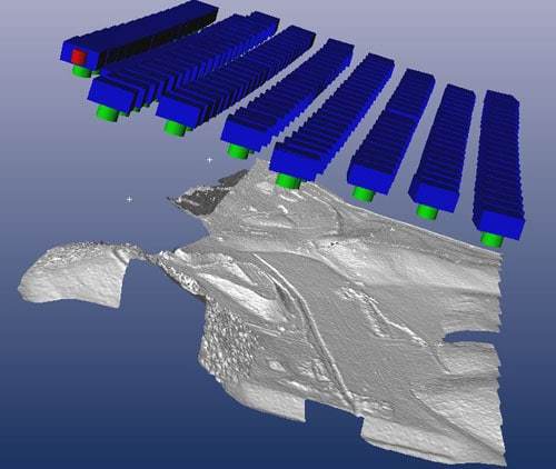 Camera Positions and Shaded View | 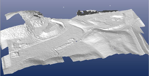 Shaded View Close Up | 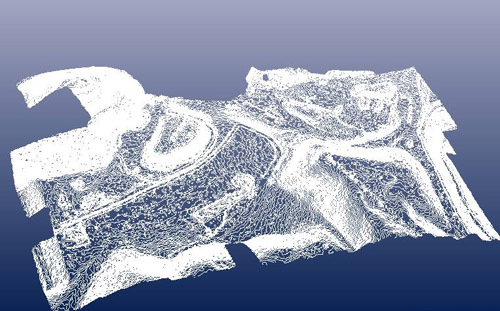 Contours | 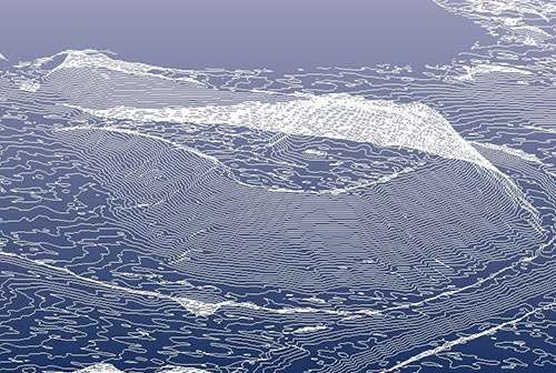 Contours Close Up |
|---|

