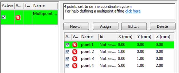

Select the "From point mesh file..." to set up the Imports and Coordinate Systems Pane for multi-point transform based on select points in a point cloud or mesh (after you click OK on this dialog):

Click the "..." button to browse to the file and select the units of the data in the file.
See Setting Multi-point Transform from Points in a Point Cloud. See Import File Types for a description of required data and a list of supported file formats. Note that the point cloud or mesh is also added as a Cloud/Mesh to the project (i.e. it will appear in the Cloud/Mesh Table, 3D Viewer, etc.).