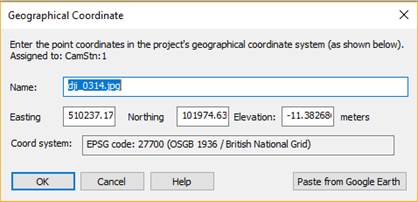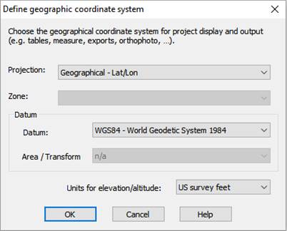

Select "a 3d object file" to select a file containing point (and possibly line and/or surface) data that will be imported:

Set the units of the data to be imported, and select whether the points are fixed (if the fixed checkbox is unchecked, the XYZ precision values can be individually entered here, see Control Import Precision). Any associated line and surface data will also be imported. If the data contains surfaces that are upside down, check the 'Flip vertex order...' checkbox.
Select "a point cloud or mesh file" to select a file containing point data (and possibly triangle data) from a dense point cloud:

You will then select individual points from these imported points to use as control points in the Imports and Coordinate Systems Pane. The imported Point Cloud will also be added to the Cloud/Mesh Table. See Setting Control from Points in a Point Cloud.
See Import File Types for a description of required data and a list of supported file formats.