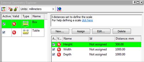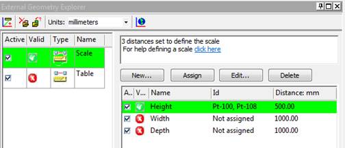

Select the "Enter X,Y,Z points manually later" in this section to set up the Imports and Coordinate Systems Pane for a multi-point transformation:

You will later define 3 or more point XYZ coordinates (after you click OK on this dialog). See Add new empty object.
Select "From a file..." to browse to a file containing the point data to be used for the multi-point transform:

Point data will be extracted from the file and the Imports and Coordinate Systems Pane will be set up and ready for you to assign points in your model to the imported points. You must also set the units of the data in the file. See Import File Types for a list of supported file formats.
Note, if you choose a DXF file, you have two additional options. These options define how the DXF TEXT entities in the file are treated. If the "DXF text fields are point names" is checked then any TEXT entity in the imported DXF file will be used to name any matching POINT entity in the file (i.e. the imported 3D point will have a name give by the TEXT entity). If there is no matching POINT found (match is determined by the POINT and TEXT entity having the same x,y,z positions) then a new imported point will be created and named based on the TEXT entity position. If the "Only use text fields with matching points" option is checked then only POINT entities with matching TEXT entities will be named - if a TEXT entity in the file does not match a POINT entity it is ignored. If the data comes from a Faro system, the text fields can be used to assign to existing coded target points in the model.
See Setting Multi-point Transform for information on assigning the external geometry to points in your model.