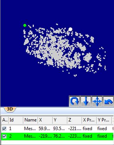

This option imports points (and lines and surfaces if included in the file) without affecting the project's coordinate system. The points be not be used as Control Points either. Another way to describe the difference is that with the ‘Define the coordinate system’ and ‘Control the project’ options, the external geometry affects and changes the project in some way, whereas visa versa, with the ‘Add 3D data without transforming the project’ option, the external geometry is affected by the project and the project does not change.
One distinction in this option is whether the imported items are Pinned Imports (where the imported object is transformed based on the project's coordinate system) or Static Imports (where the imported object is not transformed).
Select "a 3d object file..." to import a file containing point (and possibly line, surface) data that will be imported:

Set whether the imported items are to be transformed (i.e., by pinning) or are static. Set the units of the data to be imported, and if any associated surface data is upside down check the 'Flip vertex order...' checkbox. If the item is pinned, you will select individual points to use as the pinned points in the Imports and Coordinate Systems Pane after the import.
Select "a point cloud or mesh file..." to import a file containing point data (and possibly triangle data) from a dense point cloud:

Set whether the imported items are to be transformed (i.e., by pinning) or are static and then set the units of the data being imported. If the item is pinned, you will later select individual points from these imported points to use as the pinned points in the Imports and Coordinate Systems Pane after import. The imported Cloud/Mesh will also be added to the Cloud/Mesh Table.
See also Marking/Pinning Multipoint Transform, Control and Pinned Import Points.